Do you know where your utilities are?
Underground utilities need to be documented professionally
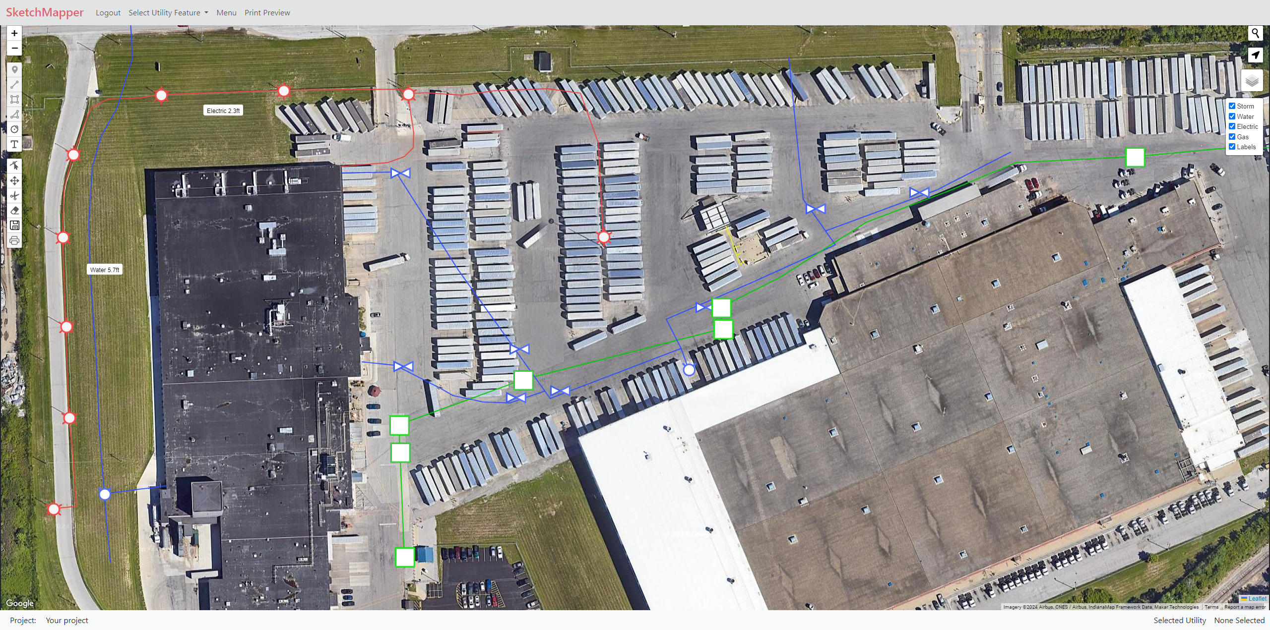
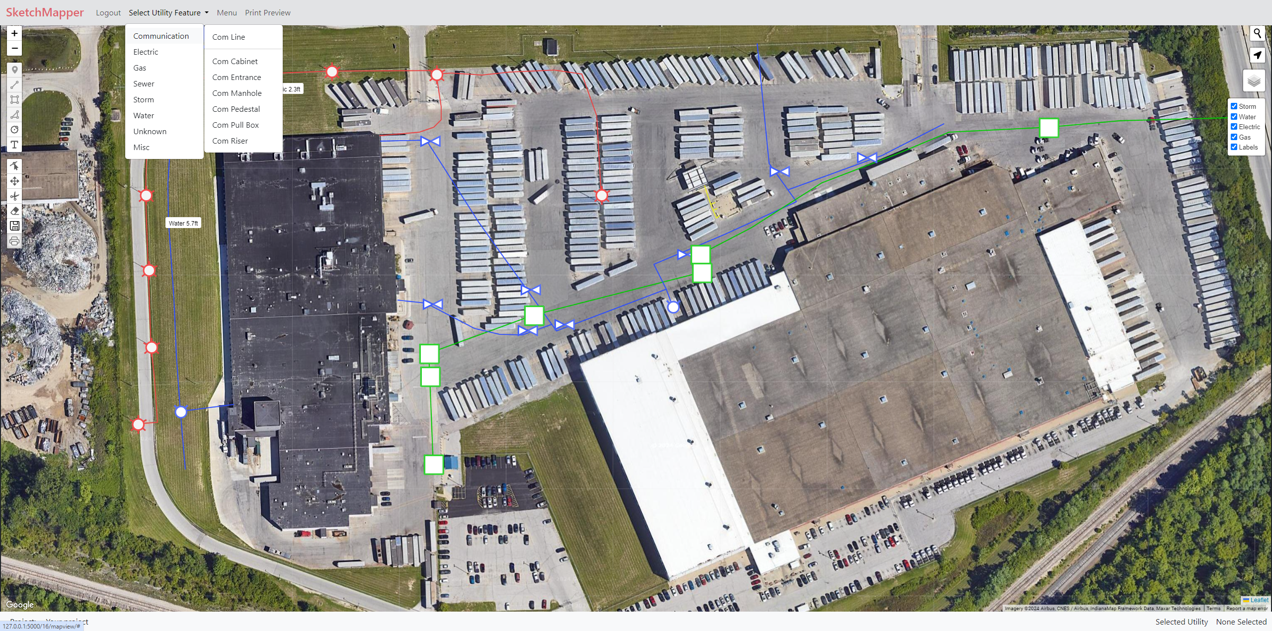
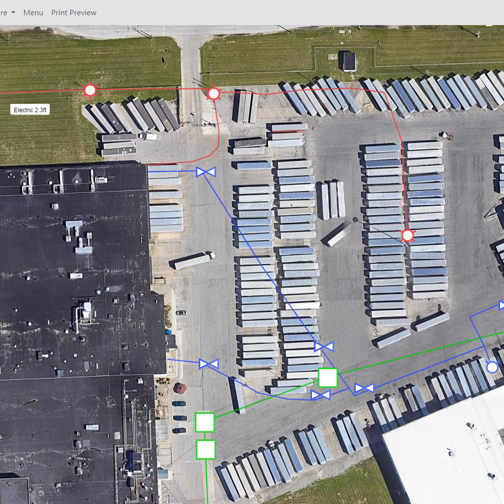
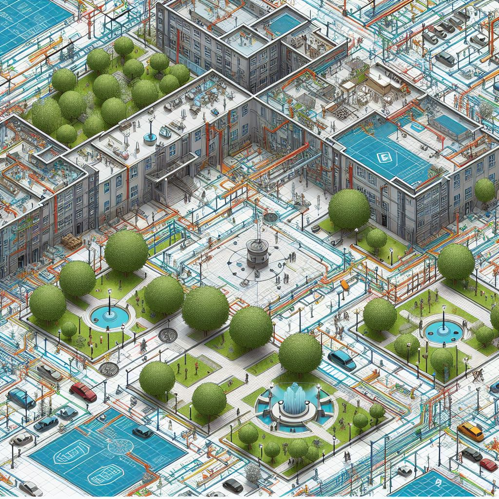
Utility lines and Symbology
Ready for you to create out of the box!
Underground Utility Locating
Sketch utilities and above ground features in real time using satellite basemap imagery. Minimize the risk of damage and ensure project safety.
Facility Maintenance
Keep track of underground utilities, access points, and other infrastructure. Develop maintenance planning and emergency response maps.

Construction and Engineering
Plan and coordinate before construction begins, enhancing efficiency and reducing the risk of infrastructure damage.